Overview
- County: Swain
- Population: 1,424
Bryson City is located just west of the confluence of the Tuckasegee River, which flows westward from its source in the mountains to the east, and Deep Creek, which flows south from its source near Newfound Gap in the Great Smoky Mountains. After flowing around the Bryson City Island Park, and passing through Bryson City, the Tuckasegee flows southwestward for another 12 miles (19 km) before emptying into the Little Tennessee River. Fontana Lake, an impoundment of the Little Tennessee, covers the lower 11 miles (18 km) of the Tuckasegee.
The town is surrounded on all sides by mountains. The Great Smoky Mountains rise to the north, the Cowee Mountains rise to the south and the Plott Balsams rise to the east. The boundary of the Nantahala National Forest passes just south of the city, and the boundary of the Great Smoky Mountains National Park passes just to the north. The Qualla Boundary, which comprises the bulk of the reservation of the Eastern Band of Cherokee Indians, dominates the area to the east.
Bryson City is centered around the junction of Everett Street and Main Street. Main Street is part of U.S. Route 19, which connects Bryson City to Cherokee to the northeast and Murphy to the southwest.
According to the United States Census Bureau, the town has a total area of 2.2 square miles (5.7 km2), of which 2.1 square miles (5.4 km2) is land and 0.1 square miles (0.26 km2) (5.33%) is water.
Indigenous cultures of Native Americans have been living and hunting along the Tuckasegee River in the vicinity of what is now Bryson City for nearly 14,000 years. The village of Kituwa, which the Cherokee believed to be their oldest village and “mother town”, was located along the Tuckasegee River. The ancient mound and village site is now controlled again by the federally recognized Eastern Band of Cherokee Indians and is preserved as a sacred site. (Bryson City developed downstream from this site.)
In 1567, an orata (minor chief) from Kituwa is believed to have met with Spanish explorer Juan Pardo in the French Broad Valley to the north. During the American Revolutionary War, many Cherokee allied with the British, hoping to expel European Americans from their territory. American soldiers burned and destroyed the town of Kituwa in 1776, but the Cherokee continued to hold annual ceremonial dances at the site throughout the 19th century.
Around 1818, a Cherokee chief known as Big Bear received a 640-acre (2.6 km2) reservation of land immediately west of the confluence of Deep Creek and the Tuckasegee River. Big Bear sold part of his reservation to Darling Belk in 1819 and another part to John B. Love in 1824. Throughout the 1830s, Belk’s heirs and Love fought an extended legal battle over control of the former Big Bear land, with Love finally prevailing in 1840. The following year, Love sold part of the land to James and Diana Shuler. The Shulers, in turn, sold parts of their land to Colonel Thaddeus Bryson and merchant Alfred Cline. A small hamlet known as Bear Springs developed on what was once Big Bear’s reservation.
Featured Listings
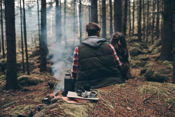
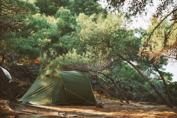
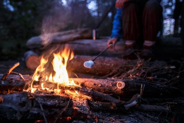
Backcountry Campsite [Premium DEMO] 
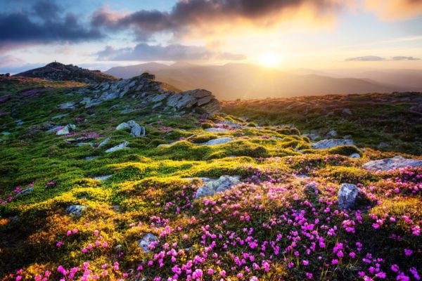


Floral Walk [Premium DEMO] 
Smoky Mountains [Premium DEMO] 
Newest Listings


Backcountry Campsite [Premium DEMO] 


Floral Walk [Premium DEMO] 


